Download top and best high-quality free Map PNG Transparent Images backgrounds available in various sizes. To view the full PNG size resolution click on any of the below image thumbnail.
License Info: Creative Commons 4.0 BY-NC
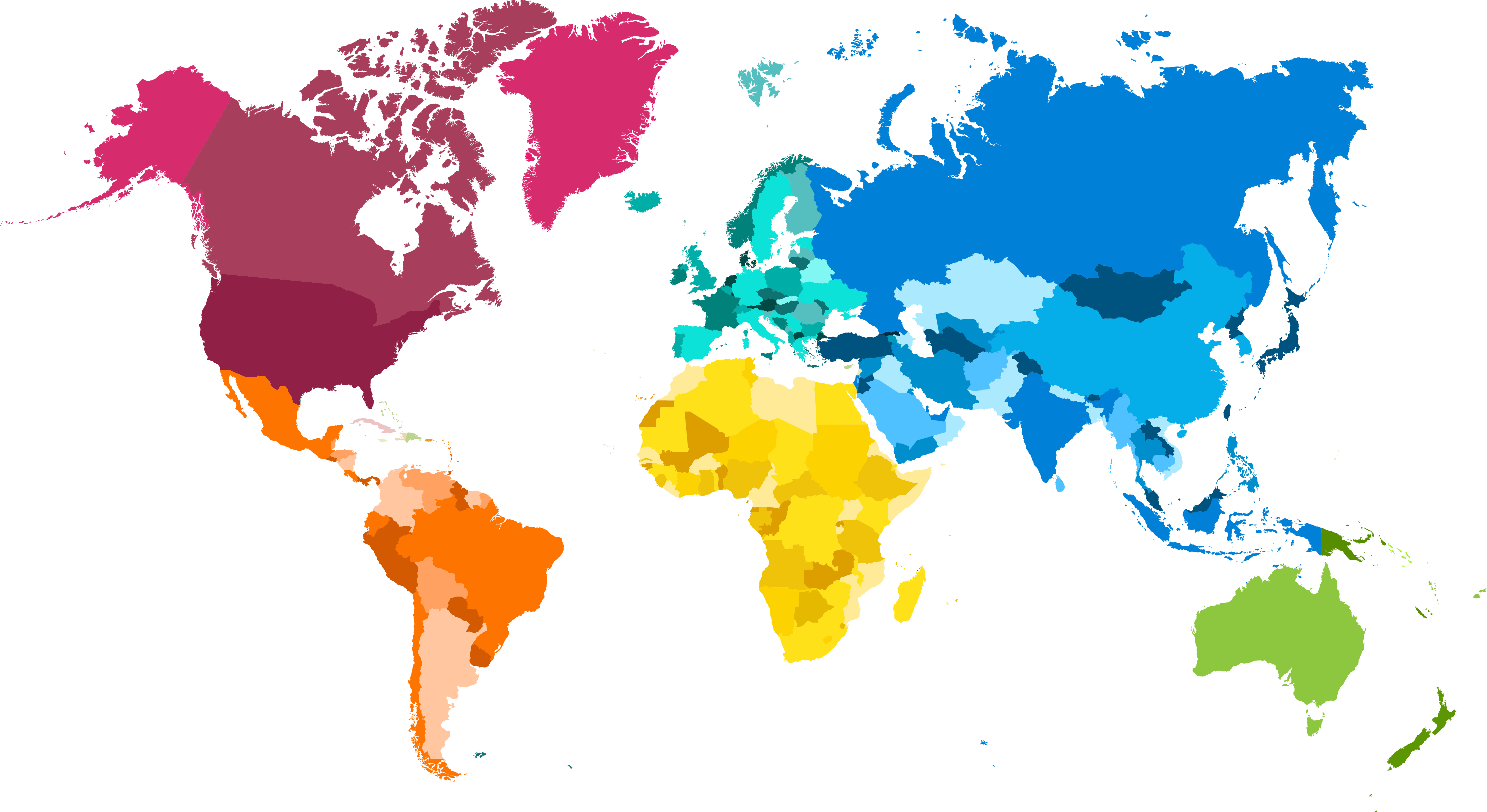
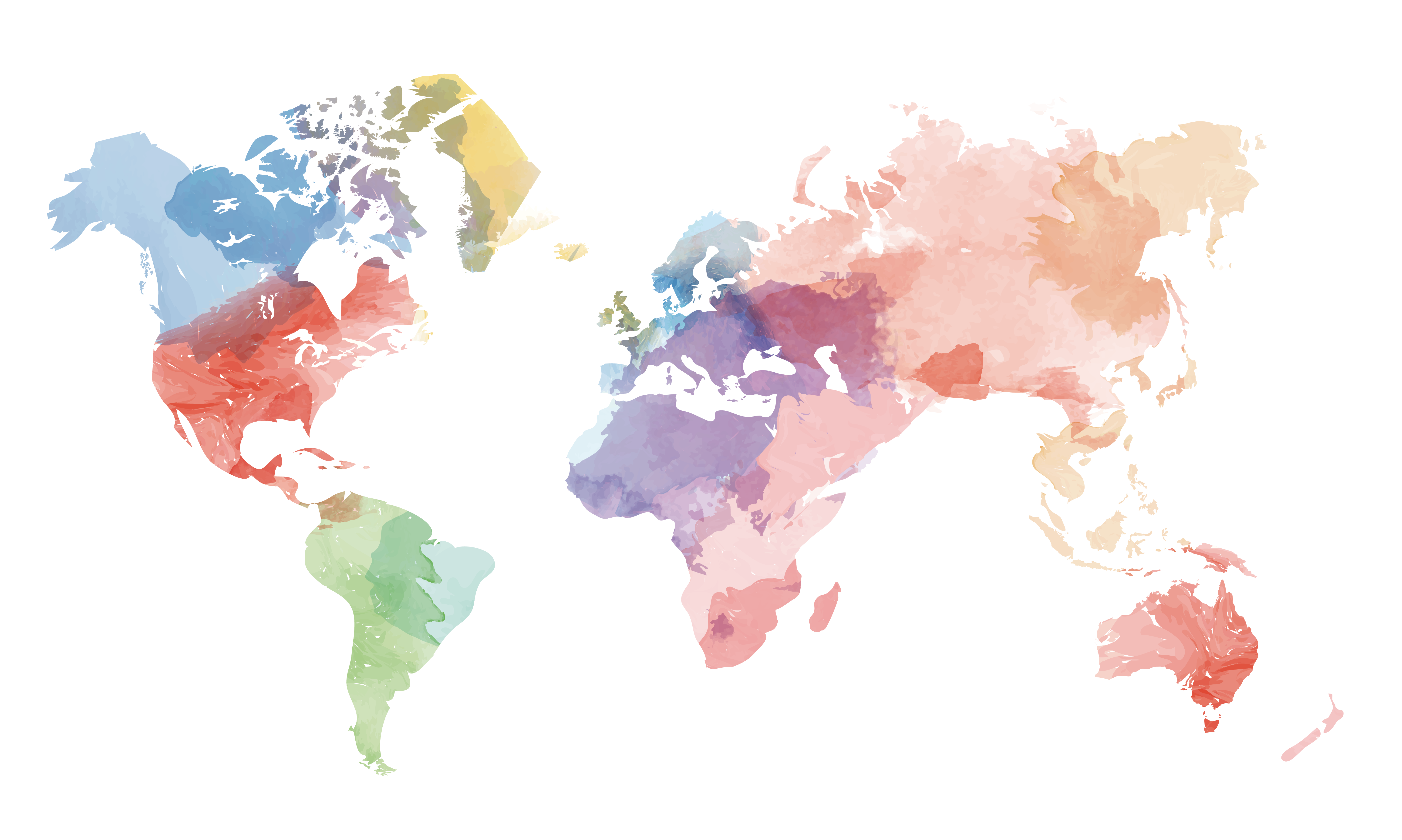
A map is a symbolic image that emphasizes the relationship between elements of a certain space, such as objects, regions, or themes.
Many maps are static, attached to paper or some other durable medium, while others are dynamic or interactive. Although maps are commonly used to represent geography, they can represent any space, real or fictitious, without regard to context or scale, for example, in brain mapping, DNA mapping, or computer network topology. The displayed space can be two-dimensional, such as the surface of the earth, three-dimensional, such as the inner space of the Earth, or even more abstract spaces of any dimension, such as those arising from the modeling of phenomena that have many independent variables.
Although the earliest known maps relate to heaven, geographical maps of the territory have a very long tradition and have existed since ancient times. The word “map” comes from the medieval Latin Mappa mundi, where mappa meant a napkin or cloth and the peace of the world. Thus, the “map” has become a shortened term referring to the two-dimensional representation of the surface of the world.
Cartography or the creation of maps is the study and practice of creating images of the Earth on a flat surface, and the one who makes the maps is called a cartographer.
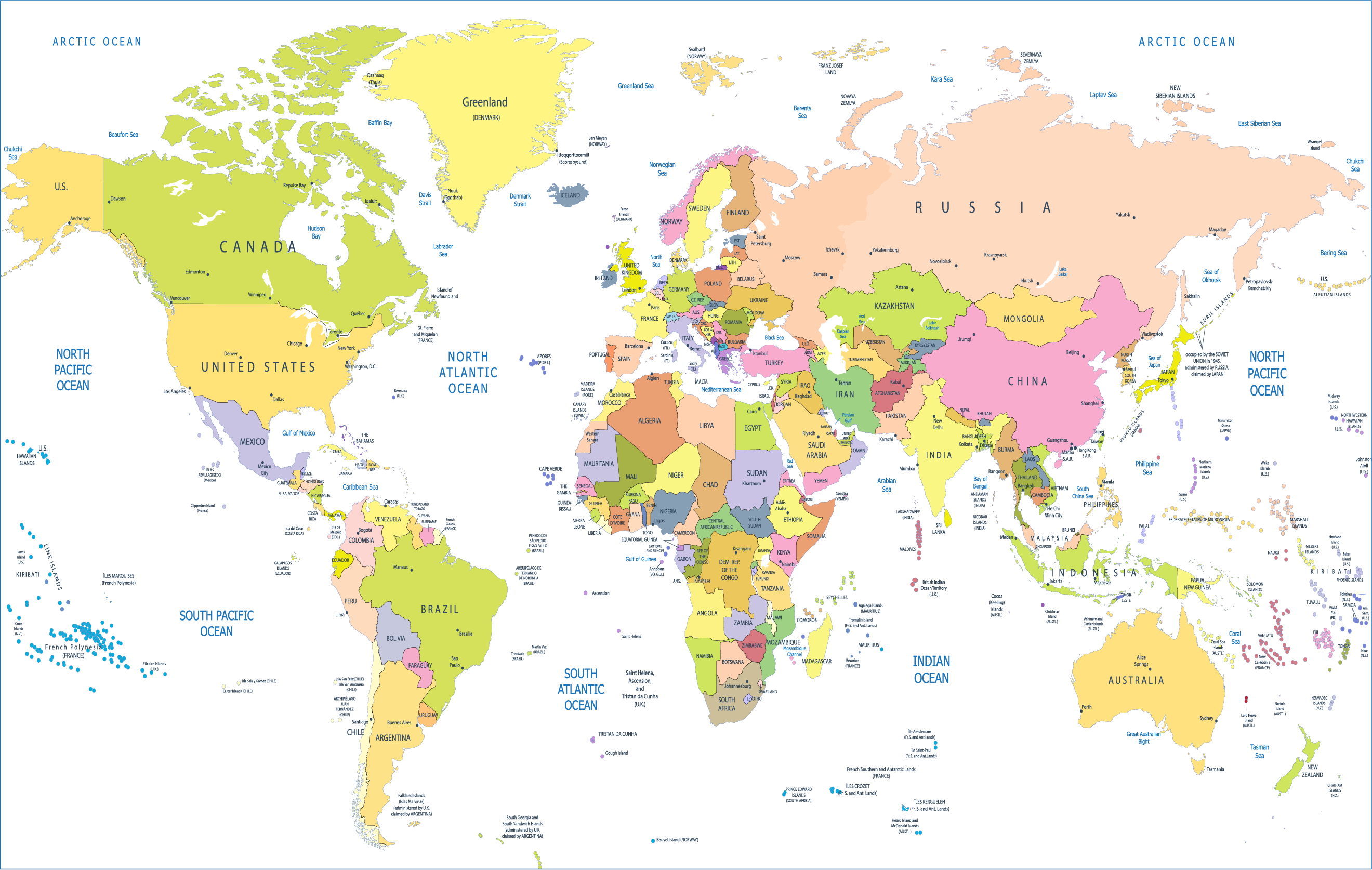
Roadmaps are perhaps the most widely used maps today and form a subset of navigation maps, which also include aeronautical and nautical charts, maps of the railway network, and maps for hiking and cycling. In terms of quantity, the largest number of carton sheets is likely to be local surveys conducted by municipalities, utilities, tax inspectors, emergency providers and other local agencies. Many national geodetic projects were carried out by the military, such as the British Artillery Survey, a civilian government agency known worldwide for its comprehensive, detailed work.
In addition to location information, maps can also be used to display contour lines indicating constant values for altitude, temperature, rainfall, etc.
Map orientation is the relationship between the directions on the map and the corresponding compass directions in reality. The word “orient” comes from the Latin landmark, which means east. In the Middle Ages, many maps, including the T and O maps, were drawn with the east at the top (this means that the up direction on the map corresponds to the east on the compass). The most common cartographic agreement is that the north is at the top of the map.
Download Map PNG images transparent gallery.
-

- White Map PNG Free Download
Resolution: 2638 × 1387
Size: 117 KB
Image Format: .png
Download
-

- White Map PNG Free Image

Resolution: 2880 × 1394
Size: 296 KB
Image Format: .png
Download
-

- White Map PNG Image
Resolution: 800 × 395
Size: 130 KB
Image Format: .png
Download
-

- White Map PNG Picture
Resolution: 2000 × 1103
Size: 225 KB
Image Format: .png
Download
-

- White Map Transparent
Resolution: 1418 × 930
Size: 329 KB
Image Format: .png
Download
-

- Map PNG Clipart

Resolution: 900 × 466
Size: 411 KB
Image Format: .png
Download
-

- Map PNG Download Image
Resolution: 2974 × 1625
Size: 396 KB
Image Format: .png
Download
-

- Map PNG File
Resolution: 6024 × 3612
Size: 2431 KB
Image Format: .png
Download
-

- Map PNG Free Download
Resolution: 2640 × 1674
Size: 1047 KB
Image Format: .png
Download
-

- Map PNG Free Image
Resolution: 2664 × 1568
Size: 139 KB
Image Format: .png
Download
-

- Map PNG HD Image

Resolution: 1100 × 569
Size: 757 KB
Image Format: .png
Download
-

- Map PNG High Quality Image
Resolution: 2953 × 1911
Size: 383 KB
Image Format: .png
Download
-

- Map PNG Image
Resolution: 860 × 510
Size: 211 KB
Image Format: .png
Download
-

- Map PNG Images
Resolution: 3956 × 1615
Size: 192 KB
Image Format: .png
Download
-

- Map PNG Pic
Resolution: 6599 × 3245
Size: 356 KB
Image Format: .png
Download
-

- Map PNG Picture
Resolution: 3467 × 1890
Size: 2951 KB
Image Format: .png
Download
-

- Map PNG
Resolution: 860 × 530
Size: 414 KB
Image Format: .png
Download
-
- Map Transparent

Resolution: 3467 × 1890
Size: 2951 KB
Image Format: .png
Download
-

- Map
Resolution: 1405 × 601
Size: 130 KB
Image Format: .png
Download
-

- White Map PNG Clipart
Resolution: 2400 × 1190
Size: 59 KB
Image Format: .png
Download
-

- White Map PNG File

Resolution: 3000 × 1426
Size: 202 KB
Image Format: .png
Download