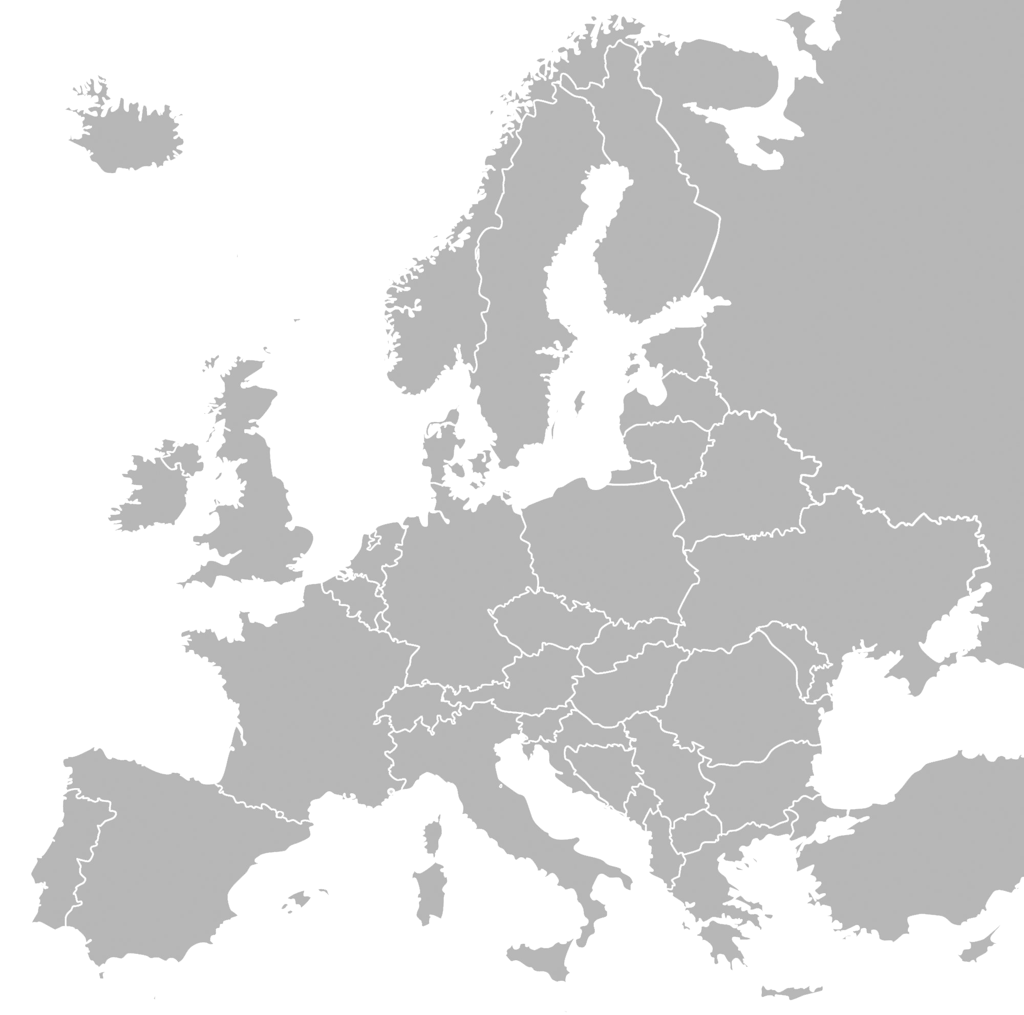
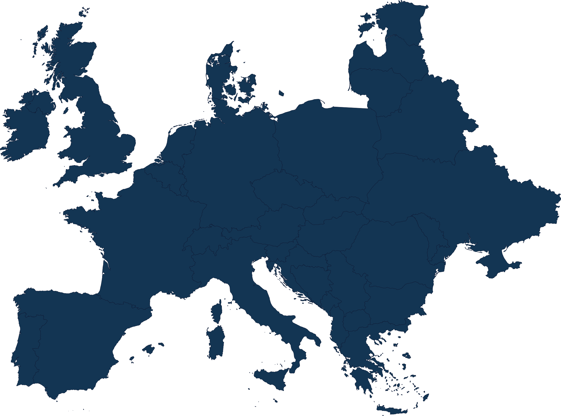
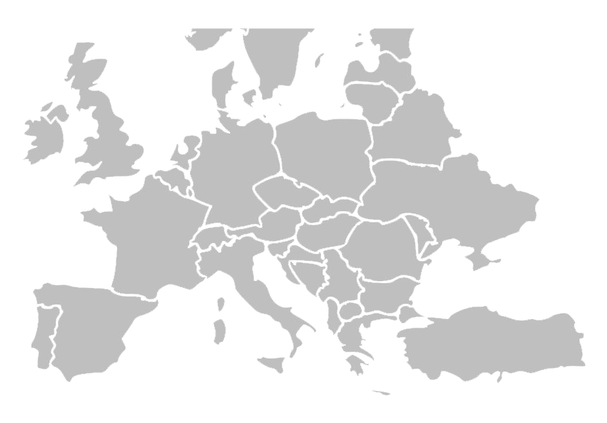
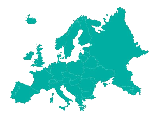
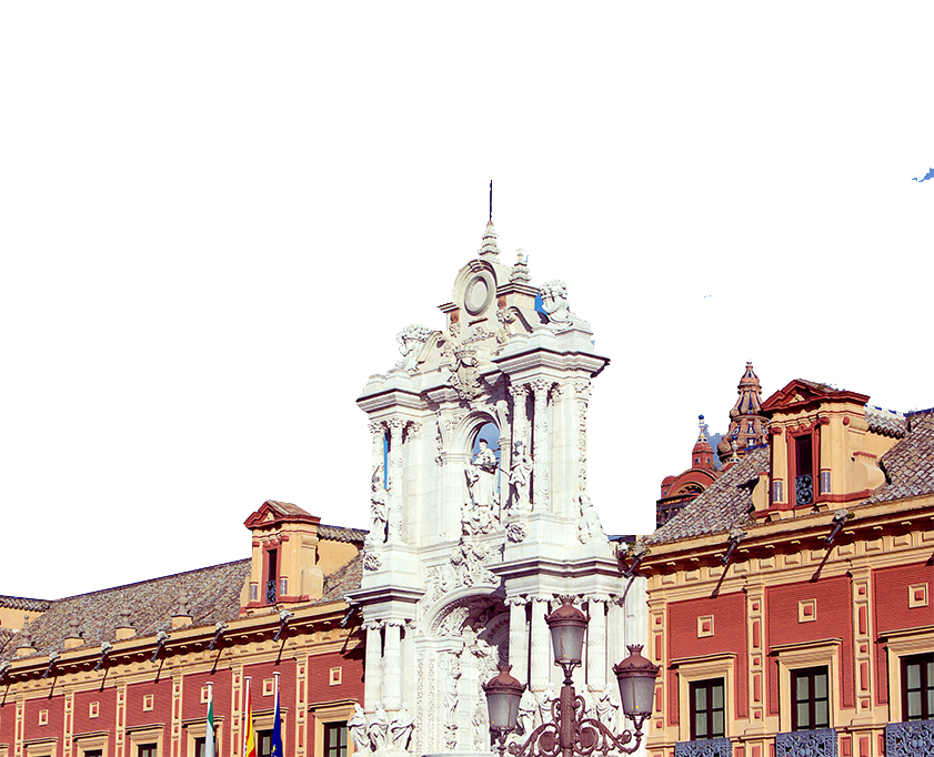
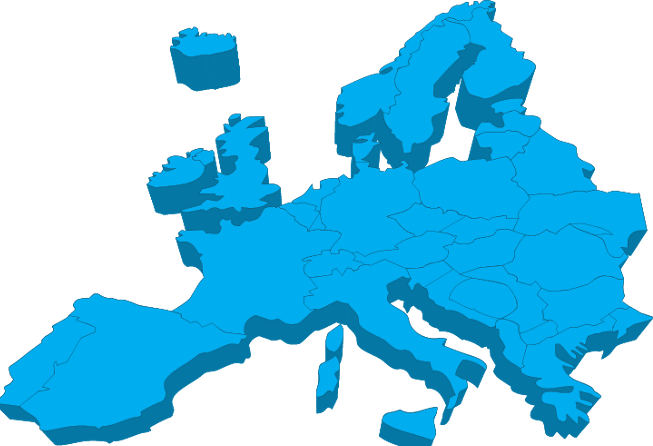
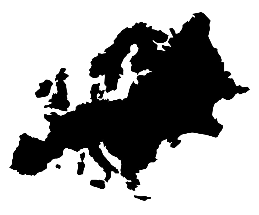
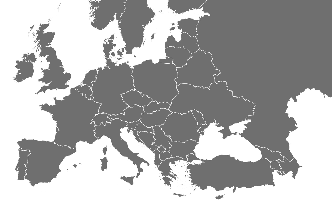
Download top and best high-quality free Europe PNG Transparent Images backgrounds available in various sizes. To view the full PNG size resolution click on any of the below image thumbnail.
License Info: Creative Commons 4.0 BY-NC
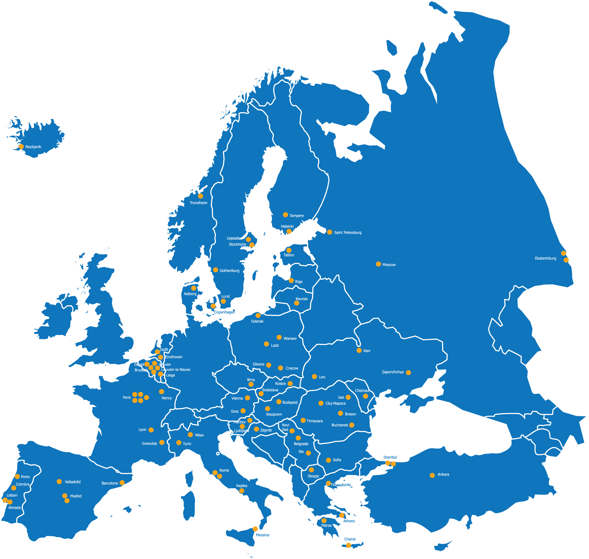
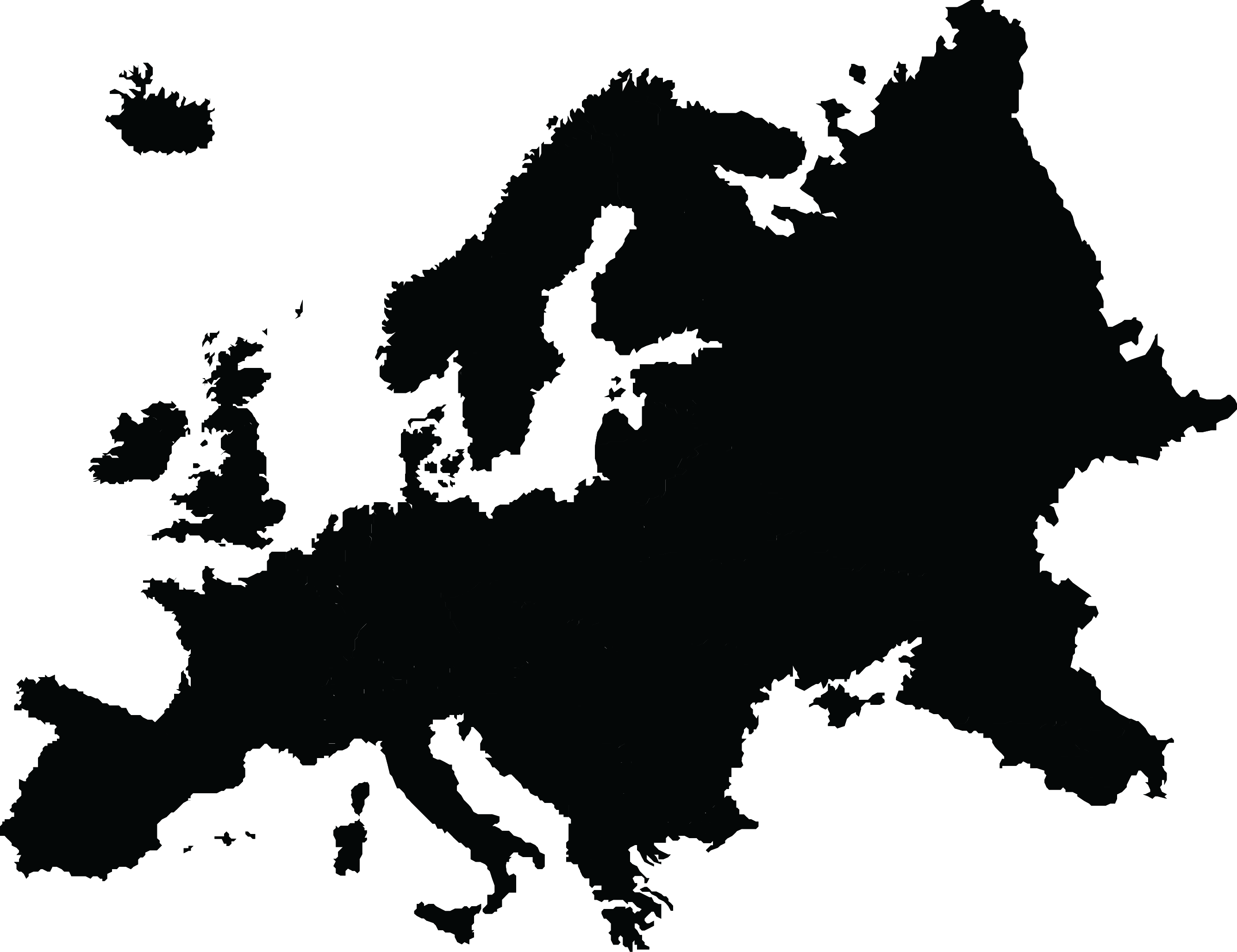
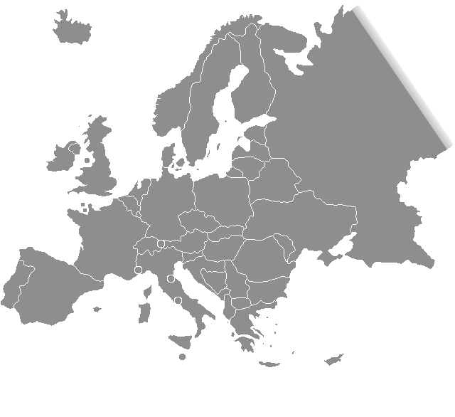
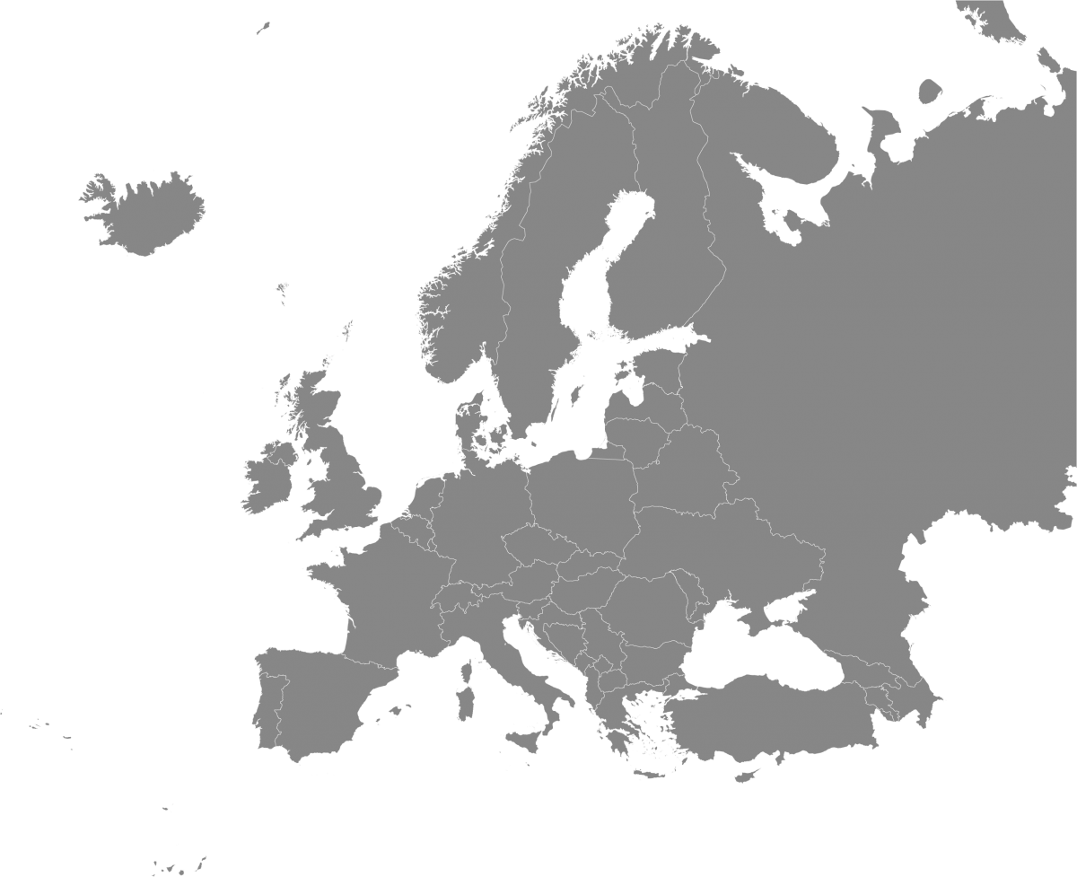
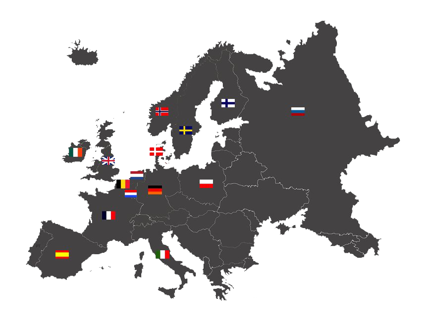
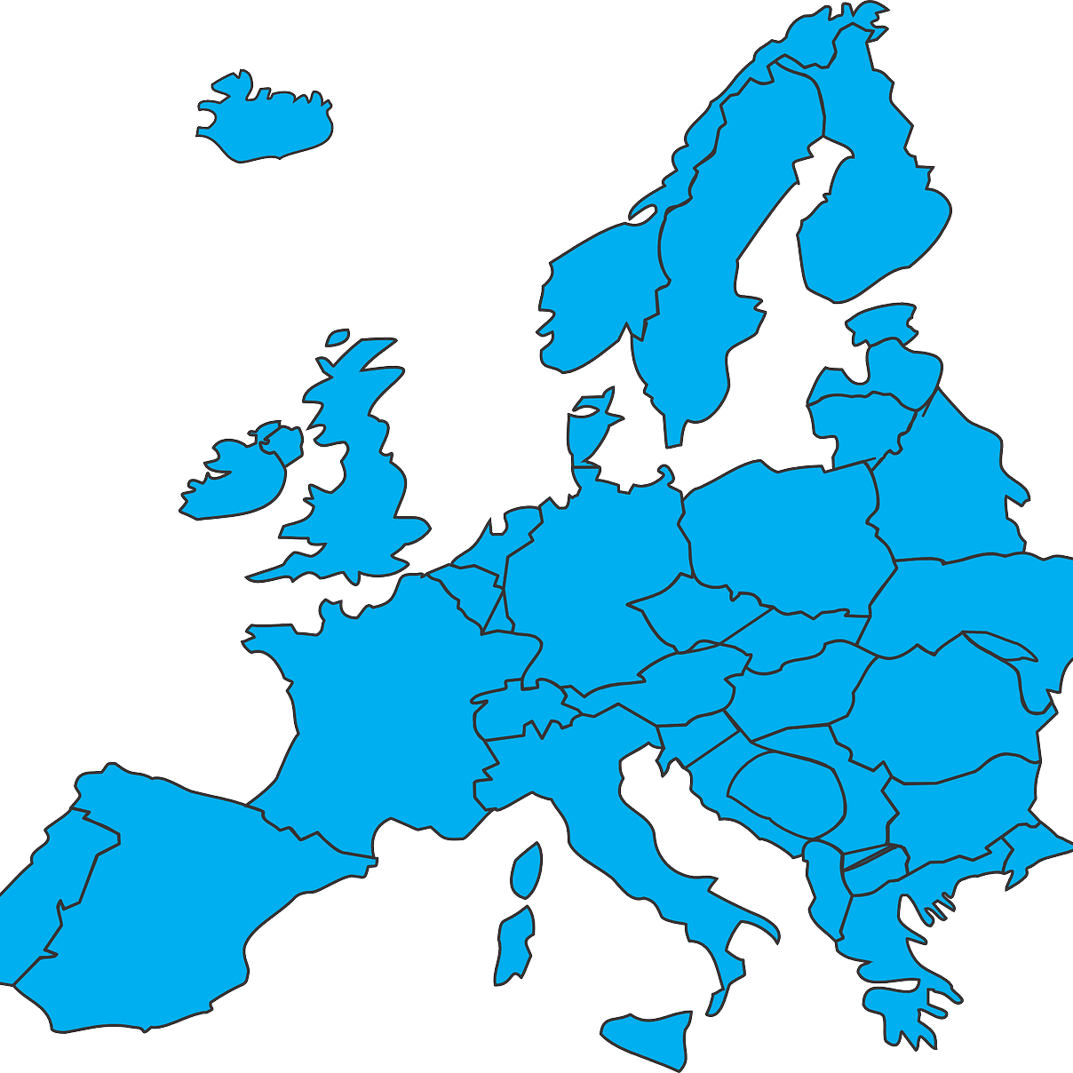
Europe is a continent entirely located in the Northern Hemisphere and especially in the Eastern Hemisphere. It consists of the westernmost part of Eurasia and is bordered by the Arctic Ocean to the north, the Atlantic Ocean to the west, the Mediterranean Sea to the south, and Asia to the east. It is generally believed that Europe is separated from Asia by the watershed of the Ural Mountains, the Ural River, the Caspian Sea, the Greater Caucasus, the Black Sea and the waterways of the Turkish Straits. Although most of this border is over land, Europe as a whole is gaining the status of a full-fledged continent due to its large physical size and the weight of history and tradition.
Europe covers about 10,180,000 square kilometers (3,930,000 square miles), or 2% of the Earth’s surface (6.8% of land area), making it the sixth largest continent. Politically, Europe is divided into about fifty sovereign states, of which Russia is the largest and most populous, occupying 39% of the continent and representing 15% of its population. By 2018, the total population of Europe is about 741 million (about 11% of the world’s population). The European climate is heavily affected by warm Atlantic currents, which tame the winter and summer of much of the continent, even at latitudes with harsh climates in Asia and North America. Further from the sea, seasonal differences are more noticeable than near the coast.
The Age of Enlightenment, the subsequent French Revolution, and the Napoleonic Wars shaped the continent culturally, politically and economically from the late seventeenth to the first half of the nineteenth century. The Industrial Revolution, which began in Great Britain in the late 18th century, brought about radical economic, cultural and social changes in Western Europe and, ultimately, around the world. Both world wars took place mostly in Europe, which contributed to the decline of Western European dominance in world affairs until the mid-20th century, when the Soviet Union and the United States were known. During the Cold War, Europe was divided along the Iron Curtain between NATO in the West and the Warsaw Pact in the East until the 1989 revolutions and the fall of the Berlin Wall.
Download Europe PNG images transparent gallery.
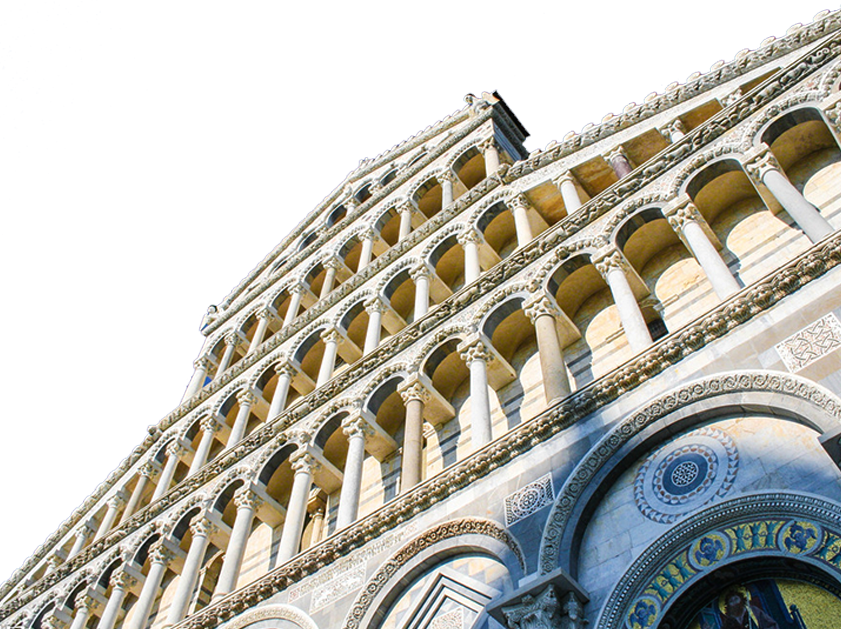
- Europe PNG Photo
Resolution: 841 × 629
Size: 1095 KB
Image Format: .png
Download
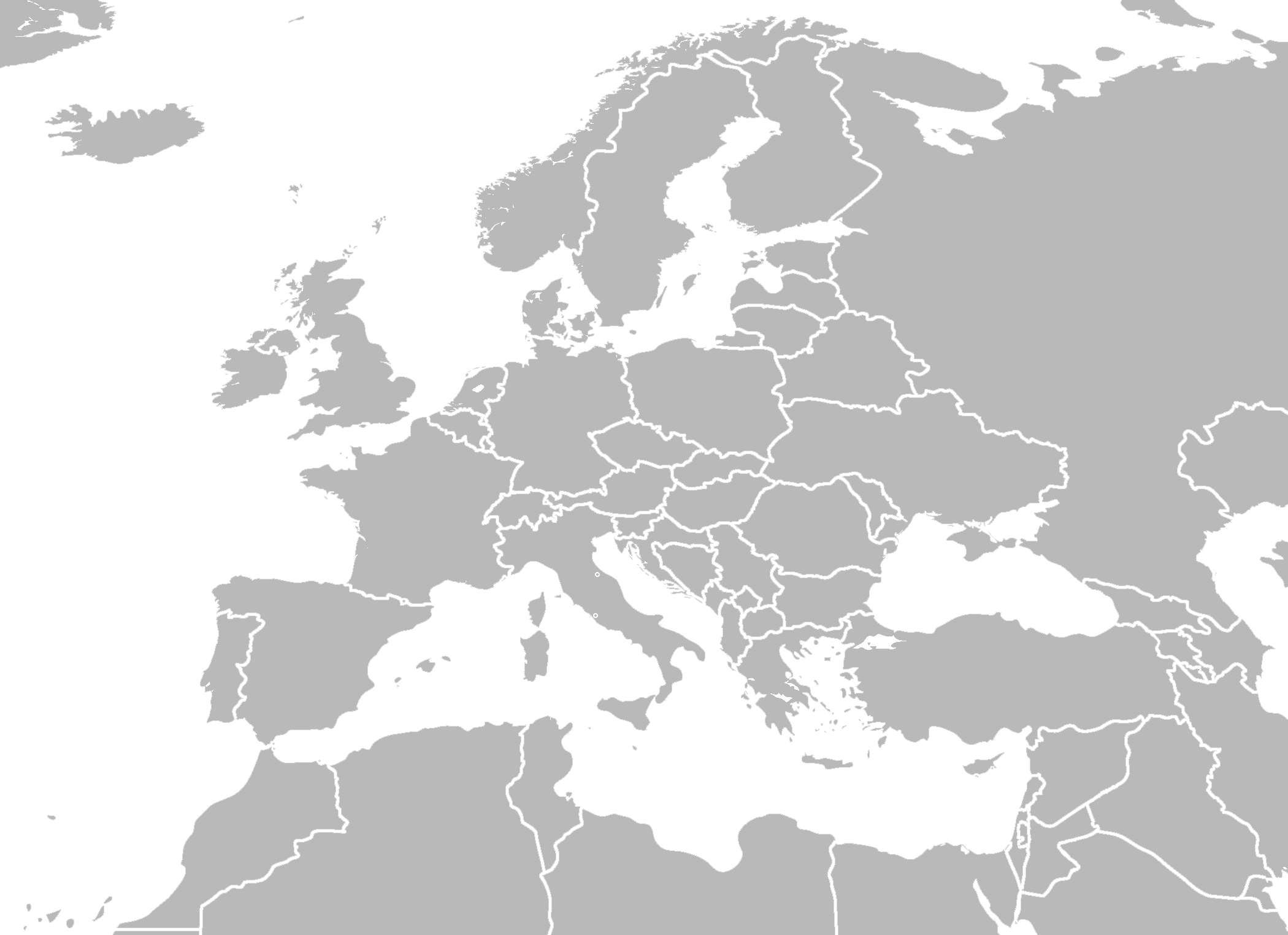
- Europe PNG Picture
Resolution: 2100 × 1525
Size: 655 KB
Image Format: .png
Download
- Europe PNG Transparent HD Photo
Resolution: 680 × 800
Size: 49 KB
Image Format: .png
Download
- Europe PNG
Resolution: 860 × 851
Size: 166 KB
Image Format: .png
Download
- Europe Transparent
Resolution: 860 × 960
Size: 196 KB
Image Format: .png
Download
- Europe
Resolution: 920 × 808
Size: 266 KB
Image Format: .png
Download
- Europe Map PNG Clipart
Resolution: 2289 × 2172
Size: 637 KB
Image Format: .png
Download
- Europe Map PNG Download Image
Resolution: 486 × 447
Size: 182 KB
Image Format: .png
Download
- Europe Map PNG File
Resolution: 793 × 668
Size: 38 KB
Image Format: .png
Download
- Europe Map PNG Free Download
Resolution: 769 × 768
Size: 42 KB
Image Format: .png
Download
- Europe Map PNG Free Image
Resolution: 2672 × 2057
Size: 124 KB
Image Format: .png
Download
- Europe Map PNG HD Image
Resolution: 700 × 616
Size: 118 KB
Image Format: .png
Download
- Europe Map PNG High Quality Image
Resolution: 640 × 586
Size: 19 KB
Image Format: .png
Download
- Europe Map PNG Image File
Resolution: 1200 × 977
Size: 376 KB
Image Format: .png
Download
- Europe Map PNG Image
Resolution: 860 × 649
Size: 202 KB
Image Format: .png
Download
- Europe Map PNG Images
Resolution: 1208 × 1208
Size: 452 KB
Image Format: .png
Download
- Europe Map PNG Pic
Resolution: 2000 × 1982
Size: 719 KB
Image Format: .png
Download
- Europe Map PNG Picture
Resolution: 2213 × 1640
Size: 111 KB
Image Format: .png
Download
- Europe Map PNG
Resolution: 860 × 599
Size: 125 KB
Image Format: .png
Download
- Europe Map Transparent
Resolution: 525 × 401
Size: 116 KB
Image Format: .png
Download
- Europe Map
Resolution: 1200 × 1204
Size: 647 KB
Image Format: .png
Download
- Europe PNG Clipart
Resolution: 512 × 395
Size: 70 KB
Image Format: .png
Download
- Europe PNG Download Image
Resolution: 1772 × 1565
Size: 664 KB
Image Format: .png
Download
- Europe PNG File Download Free
Resolution: 566 × 557
Size: 18 KB
Image Format: .png
Download
- Europe PNG File
Resolution: 624 × 468
Size: 10 KB
Image Format: .png
Download
- Europe PNG Free Download
Resolution: 1200 × 1001
Size: 272 KB
Image Format: .png
Download
- Europe PNG Free Image
Resolution: 2000 × 1987
Size: 1228 KB
Image Format: .png
Download
- Europe PNG HD Image
Resolution: 841 × 682
Size: 1122 KB
Image Format: .png
Download
- Europe PNG High Quality Image
Resolution: 700 × 550
Size: 60 KB
Image Format: .png
Download
- Europe PNG Image File
Resolution: 841 × 682
Size: 700 KB
Image Format: .png
Download
- Europe PNG Image HD
Resolution: 653 × 446
Size: 113 KB
Image Format: .png
Download
- Europe PNG Image
Resolution: 860 × 716
Size: 85 KB
Image Format: .png
Download
- Europe PNG Images
Resolution: 1060 × 660
Size: 197 KB
Image Format: .png
Download
