Download top and best high-quality free UK Map PNG Transparent Images backgrounds available in various sizes. To view the full PNG size resolution click on any of the below image thumbnail.
License Info: Creative Commons 4.0 BY-NC
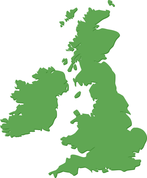
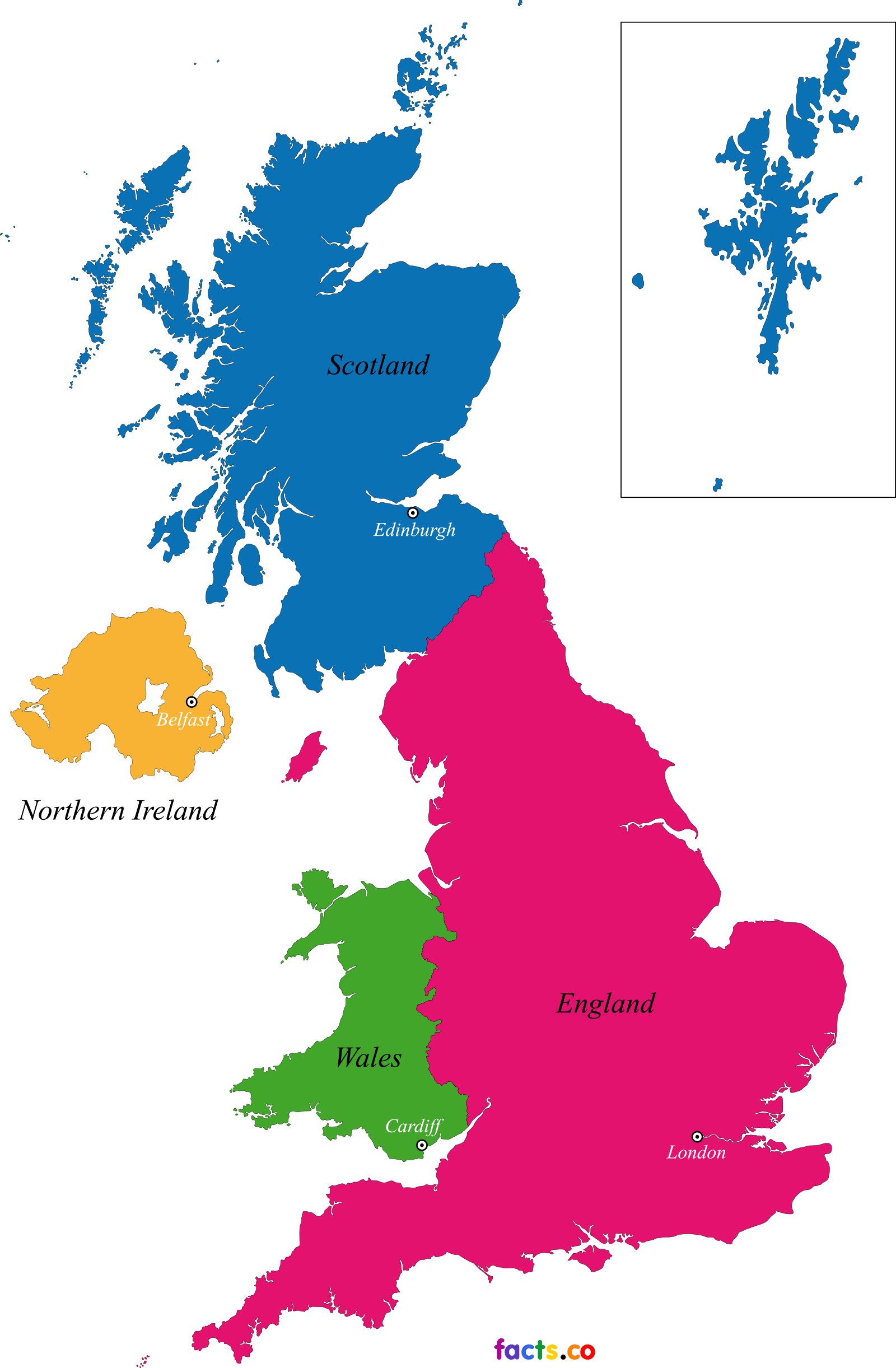
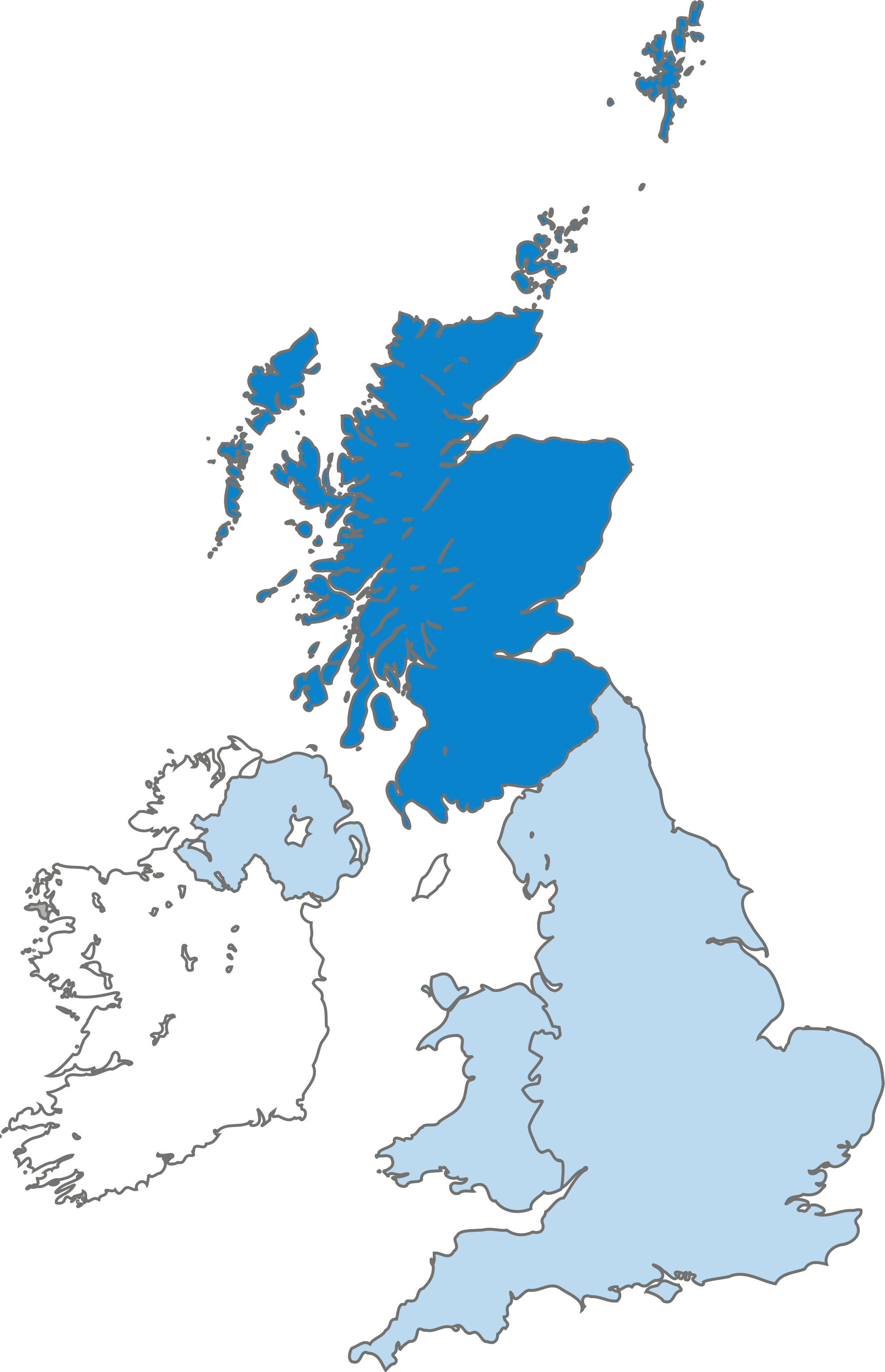
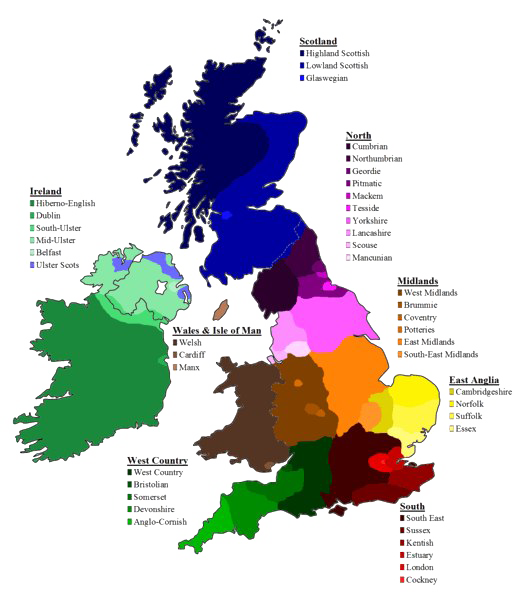
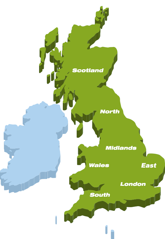
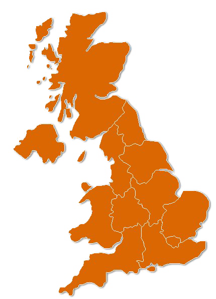
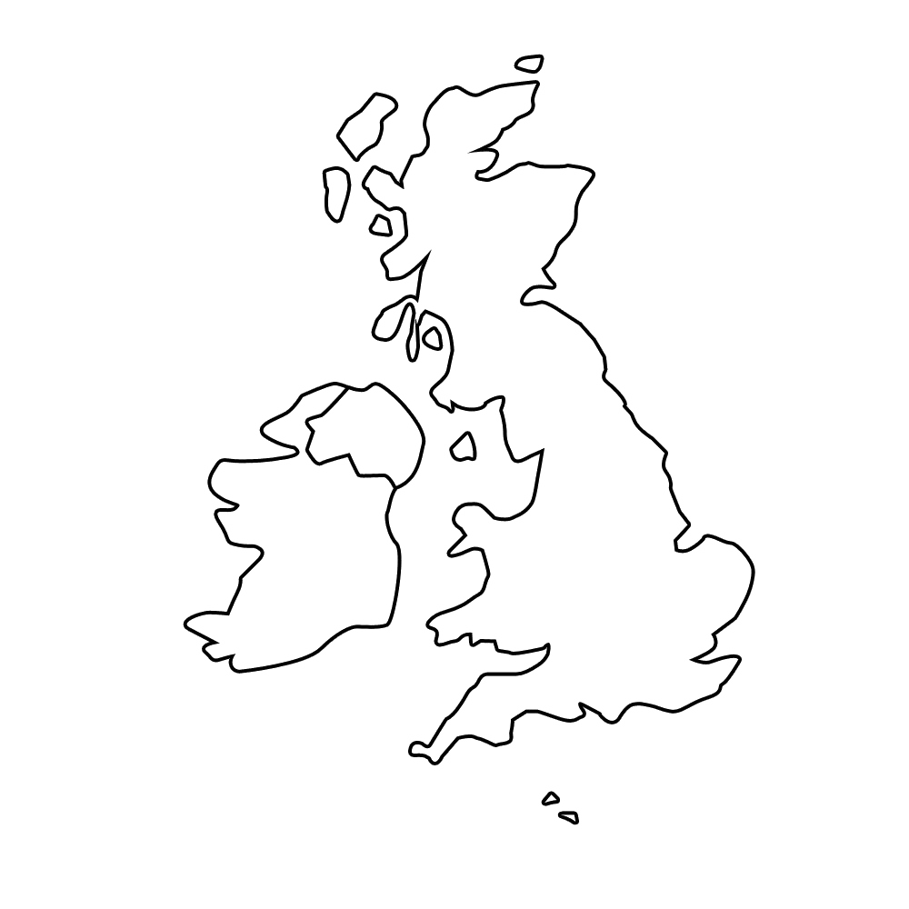
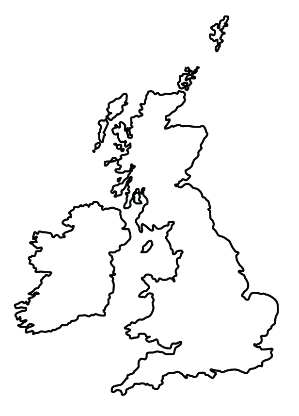
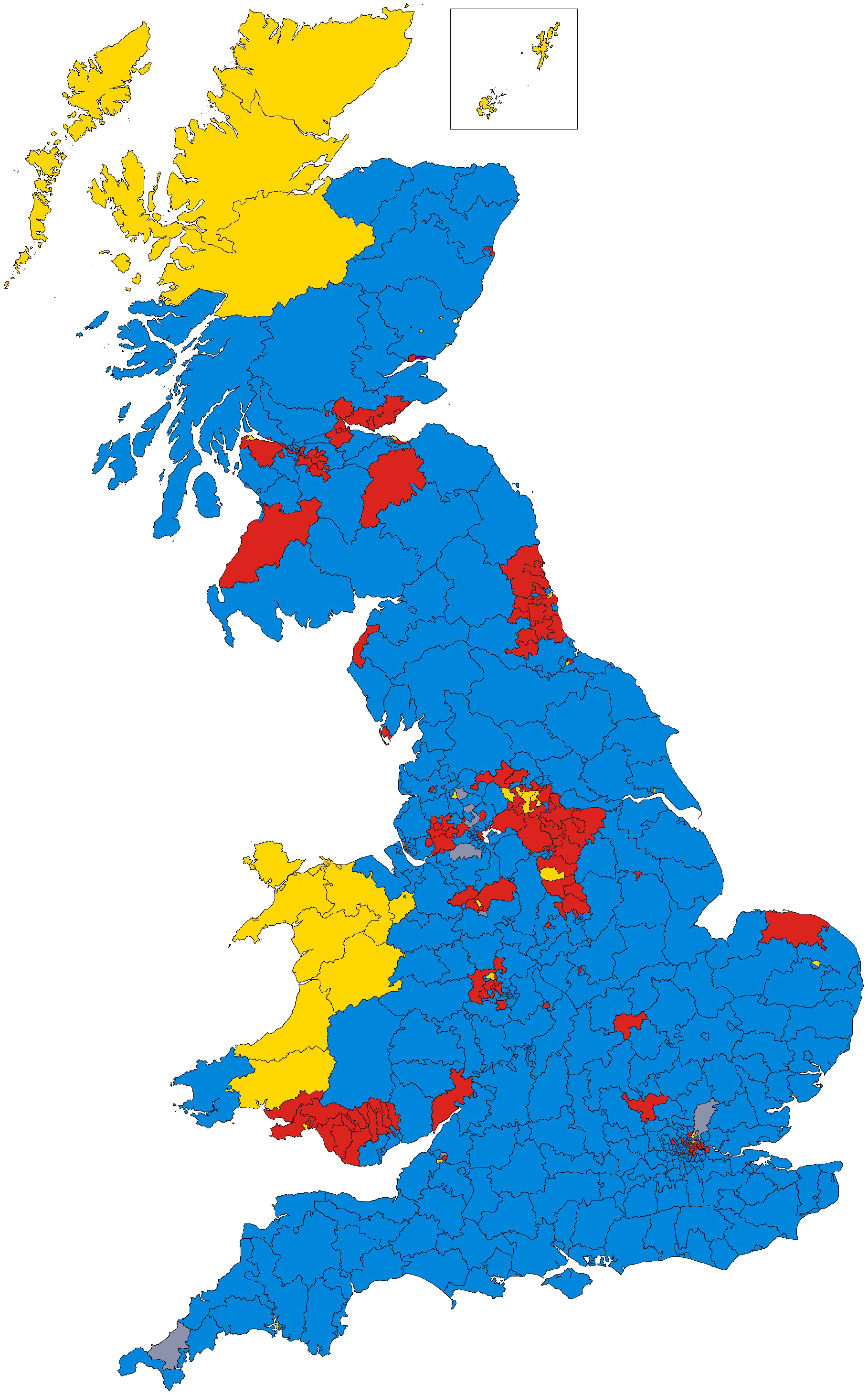
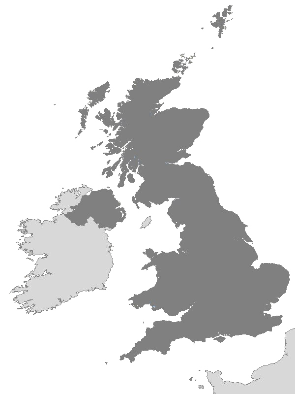
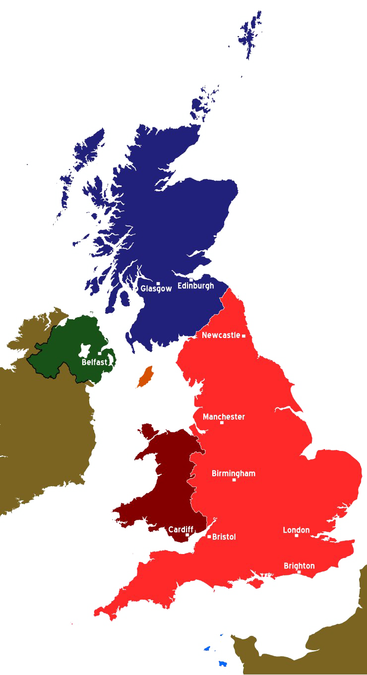
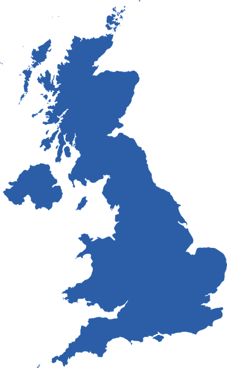
The United Kingdom (UK), officially the United Kingdom of Great Britain and Northern Ireland, sometimes referred to as the Britain, is a sovereign country located on the northwest coast of the European continent. The United Kingdom includes the island of Great Britain, the northeastern part of the island of Ireland and much smaller islands.
Northern Ireland is the only part of the United Kingdom that has a land border with another sovereign state, the Republic of Ireland. In addition to this land border, the United Kingdom is surrounded by the Atlantic Ocean, the North Sea to the east, the Canal to the south and the Celtic Sea to the southwest, giving it the 12 longest coasts in the world. The Irish Sea lies between Great Britain and Ireland.
Minimum wage: 1,463.80 EUR per month (Jul 2018)
Capital: London
Dialing code: +44
Currency: Pound sterling
Prime minister: Theresa May (2019)
With an area of 242,500 square kilometres (93,600 sq mi) United Kingdom is the 78th largest sovereign state in the world. It is also the 22nd largest populous country with approximately 66.0 million inhabitants in 2017.
The UK is a single parliamentary democracy and constitutional monarchy. The current monarch is Queen Elizabeth II, who has ruled since 1952, making her the longest acting head of state. The capital and largest city of the United Kingdom is London, a global city and financial center with a population of 10.3 million. Other major urban areas in the United Kingdom include Greater Manchester, West Midlands and West Yorkshire, Greater Glasgow and Liverpool.
The UK is a developed country and is the fifth largest economy in the world in nominal GDP and the ninth largest economy in terms of purchasing power parity. It has a high-income economy and a very high rating on the human development index, which is ranked 14th in the world. It is the first industrialized country in the world and the largest power in the world in the 19th and early 20th centuries.
The United Kingdom has made significant contributions to the global economy, especially in technology and industry. After World War II, however, Britain’s most prominent exports were cultural, including literature, theater, cinema, television, and popular music, which are written in all parts of the country. Perhaps the largest British export is English, which is now spoken in all corners of the world as one of the leading international circles of cultural and economic exchanges.
Download UK Map PNG images transparent gallery.
- UK Map PNG Pic
Resolution: 513 × 621
Size: 16 KB
Image Format: .png
Download
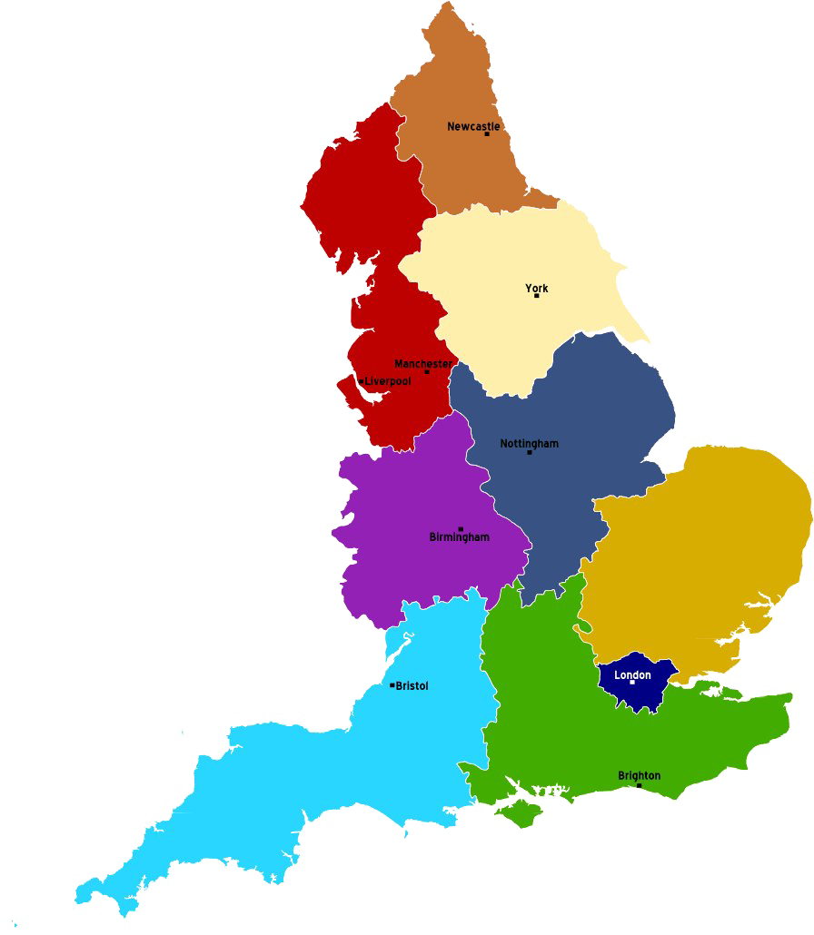
- UK Map PNG Picture
Resolution: 896 × 1030
Size: 288 KB
Image Format: .png
Download
- UK Map PNG Transparent HD Photo
Resolution: 463 × 720
Size: 64 KB
Image Format: .png
Download
- UK Map PNG
Resolution: 512 × 512
Size: 11 KB
Image Format: .png
Download
- UK Map Transparent
Resolution: 1600 × 2443
Size: 421 KB
Image Format: .png
Download
- UK Map
Resolution: 2000 × 3101
Size: 538 KB
Image Format: .png
Download
- UK Map PNG Clipart
Resolution: 517 × 600
Size: 270 KB
Image Format: .png
Download
- UK Map PNG Download Image
Resolution: 536 × 773
Size: 63 KB
Image Format: .png
Download
- UK Map PNG File Download Free
Resolution: 430 × 595
Size: 173 KB
Image Format: .png
Download
- UK Map PNG File
Resolution: 534 × 671
Size: 192 KB
Image Format: .png
Download
- UK Map PNG Free Download
Resolution: 1000 × 1000
Size: 147 KB
Image Format: .png
Download
- UK Map PNG Free Image
Resolution: 2200 × 2200
Size: 889 KB
Image Format: .png
Download
- UK Map PNG HD Image
Resolution: 617 × 857
Size: 40 KB
Image Format: .png
Download
- UK Map PNG High Quality Image
Resolution: 1818 × 2919
Size: 2613 KB
Image Format: .png
Download
- UK Map PNG Image File
Resolution: 600 × 800
Size: 143 KB
Image Format: .png
Download
- UK Map PNG Image HD
Resolution: 779 × 788
Size: 85 KB
Image Format: .png
Download
- UK Map PNG Image
Resolution: 650 × 694
Size: 131 KB
Image Format: .png
Download
- UK Map PNG Images
Resolution: 740 × 1362
Size: 442 KB
Image Format: .png
Download
- UK Map PNG Photo
Resolution: 445 × 720
Size: 87 KB
Image Format: .png
Download
